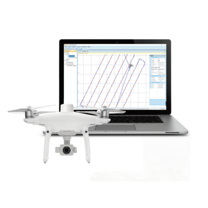
DroneEco Series
In stock
Models:DroneEco, DroneEco Pro
A trustworthy UAV solution that is suitable to your professional survey work.
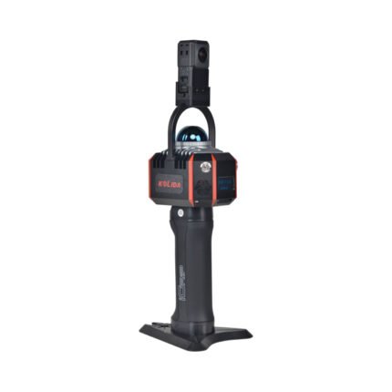
K100
In stock
K100 provides real-time point clouds,color point clouds, brings you efficient, accurate and convenient user experience.
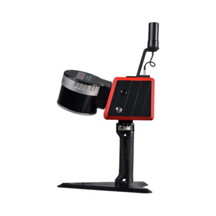
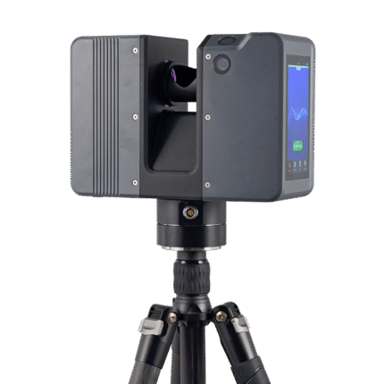
K120
In stock
The fusion of SLAM positioning and Laser Scanning, fit for various indoor/ outdoor high precision mapping projects.
Light weight Mini LiDAR System SZT-250 UAV-Based or SUV-Based Min
In stock
Models:SZT-250
UAV-Based or SUV-Based Mini LiDAR system are available to do projects in topographic survey job, cadastral survey, etc.
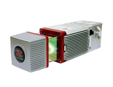
Pulsed Precise Terrestrial Laser Scanners Pulsed Precise Scan technology
In stock
Pulsed Precise Scan technology Scanning Range: 0.6 ~ 1500m Scanning Accuracy: 3mm @ 100m Scan Rate:2,000,000 pts/sec